
Kern County Neighbors Record Coverage
A block lookup works by matching a source to a narrow question. GIS is best for finding the target parcel and clicking adjacent polygons. The Assessor is an address-to-parcel tool, not an online owner directory. The Recorder indexes recorded parties after a known name or APN is established. Voter data is restricted, and Neighborhood Watch, Park Watch, and advisory councils publish programs or public meetings rather than household rosters.
Historical criss-cross books can show who was listed at an address in a past period. They do not reveal a current block. The table is a coverage map for the record trail, with access limits kept beside each source.
| Source | What It Shows About a Block | Access |
|---|---|---|
| GIS click-adjacent browse | Touching or nearby parcels, map tips, APNs, situs, and public parcel fields | Free viewer after terms; no verified radius tool |
| Assessor address search | Street matches, APN or ATN, parcel map, and value clues | Free online; first 100 matches and owner suppression |
| Recorder party records | Recorded transfers, liens, releases, document dates, and parties | Free index; kiosk, counter, or mail for the next step |
| Approved voter file | Permitted registration or precinct fields for an approved purpose | Restricted under Elections Code §2194 |
| Neighborhood Watch or Park Watch | Program contacts and participation layer | Public program page; no household roster |
| Municipal Advisory Councils | Public meetings, members, officers, vacancies, and territory | County public meeting records; not a resident list |
| Criss-cross directories | Past address-to-listed-name evidence | Library of Congress or library shelves |
Owners and occupants are not the same category. A parcel may be held by a trust or entity. A mailing address may be elsewhere. A directory subscriber may have moved before publication. A block result should therefore use labels such as recorded party, assessed parcel, listed subscriber, or public meeting participant.
Map Kern County Neighbors By Parcel
Start with the Kern Interactive County Map. Search the target address or APN, accept the terms, identify the correct polygon, and read the map tip. Zoom until parcel edges are clear. Then click each touching or nearby polygon one at a time and note the APN and situs. Kern research did not verify a radius or buffer tool, so the sound method is an adjacent-parcel walk.
GIS fields may include assessee, APN, situs, approximate acreage, short legal, Tax Rate Area, use and roll codes, values, exemptions, and links to a parcel profile or map. The preview can show an assessee even though the separate Assessor web search suppresses owner names. Treat the GIS layer as dynamic and as-is, and keep a note of which interface supplied each field.
- Normalize the target as a situs address and preserve the original spelling for later comparison.
- Use the Assessor address search without city, ZIP, or street type. Add the house number or a longer street stem if more than 100 matches appear.
- Confirm the target APN and parcel boundary in GIS before reading nearby polygons.
- Click each touching parcel separately. Distinguish parcels across a road, alley, canal, or vacant strip from parcels that touch the target.
- Record the APN, situs, legal clue, and source interface for each candidate.
- Use the Recorder after a known name or APN is established, then compare the instrument's legal description.
- End with a not-shown list for private household roles and protected records.
For the complete named-street chain rather than the immediate block, use the Kern County street directory route. The block method should remain narrow enough to show how each parcel was selected.
Kern County Neighbors Assessor Limits
The Kern Assessor Property Search accepts APN, ATN, and address modes. Address search is prefix based, so a short street stem can return related names. Results stop at the first 100 matches. Add the number or a longer stem rather than assuming the first result is the target.
Owner-name search is not available in the public Assessor tool, and owner names are suppressed online. Situs means where the parcel lies. A tax or deed mailing address can point somewhere else. An exemption type or value may be a clue, but it does not prove who lives in a home or how many people share it.
When a title question remains, the Recorder's free party index can search a legal name, party role, document date, number, or class. The online Recorder has no address mode. An APN search remains available at county kiosks, and copies are requested at the counter or by mail. Search results can show document number, date, pages, description, first grantor or grantee, and image availability, but an image marked N/A is not a promise of remote viewing.
Voter Files And Kern County Neighbors
California My Voter Status is a self-authenticated check, not a way to browse a street. It asks the voter for first name, last name, date of birth, California driver license or identification information, and the last four digits of a Social Security number. It can help a person check their own status. It does not authorize a neighbor list.
A voter-file request is limited by Elections Code §2194. The statewide file and specific-person request are reserved for stated candidate, ballot committee, government, election, scholarly, journalistic, or approved political purposes. Personal curiosity, marketing, harassment, and unauthorized publication are forbidden. Driver or ID data, last four digits, signatures, and other protected identifiers are withheld. The California voter-data regulations explain the access controls, and the Kern Elections office is the county contact for local registration questions.
The California Secretary of State explains the restricted voter-file request route.
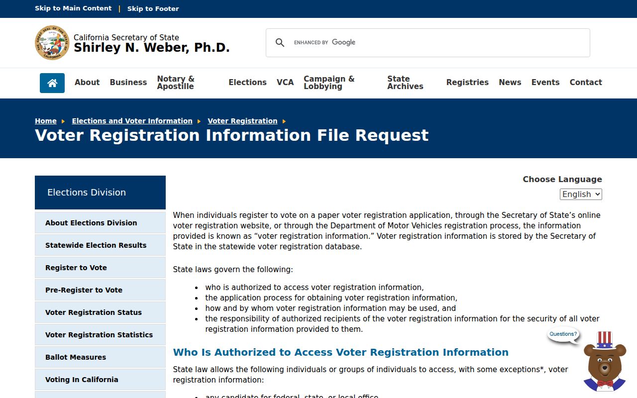
The request form confirms that an approved purpose is required before any permitted registration fields can be considered.
That restriction is a useful result in its own right. A block analysis that cannot meet the approved purpose should stop with GIS, public parcel facts, community contacts, or historical sources rather than route around the rule.
Bakersfield Watch And Park Contacts
Bakersfield Neighborhood Watch and Park Watch provide an official community-safety and participation layer. They can help a person find the program or contact route for an area. They do not publish a household roster, and participation does not prove that every person near a parcel is a member.
Use a program page for civic contact, meeting information, or safety awareness. Do not turn a public program name into a list of private households. The distinction matters in Kern County because public participation, parcel ownership, and actual occupancy are separate forms of evidence.
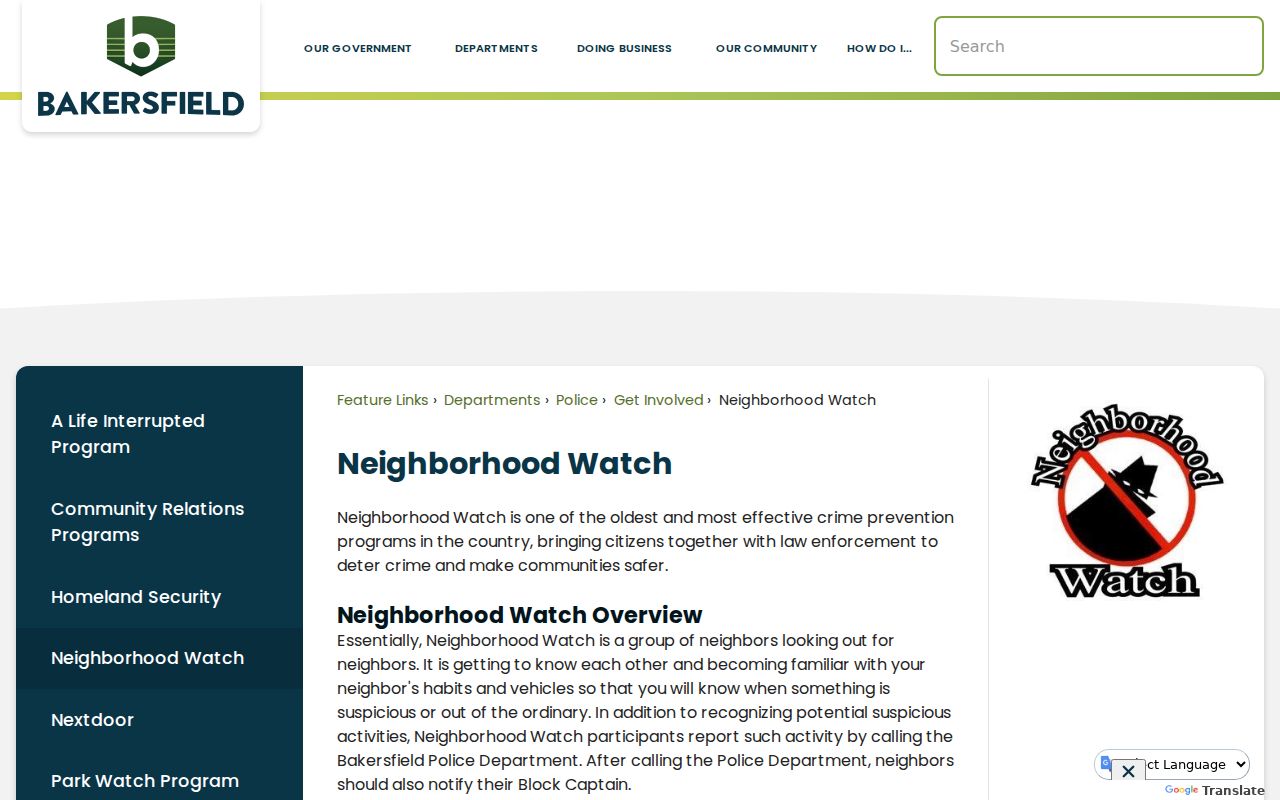
The program can point toward community contact, but it is not a public roster of Bakersfield households.
Kern County Neighbors Advisory Areas
Kern's public community layer includes Mountain Communities, Rosamond, and Tehachapi Municipal Advisory Councils. These bodies can publish meetings, officers, members, vacancies, or territory. They are regional advisory structures, not private association directories. No authoritative countywide private HOA or neighborhood-member inventory was verified.
The named territories are still useful search terms. Mountain Communities includes Cuddy Valley, Pine Mountain Club, Lebec, Frazier Park, Fort Tejon and Tejon Mountain Village, Pinon Pines, Pine Ridge, and Lake of the Woods. Tehachapi MAC includes Alpine Forest, Bear Valley Springs, Golden Hills, North Cummings Valley, Stallion Springs, and nearby unincorporated areas. Rosamond MAC is another public meeting layer.
| Community layer | What to ask for | What it cannot prove |
|---|---|---|
| Mountain Communities MAC | Meeting records, territory, public officers, and vacancies | Who lives on one parcel |
| Rosamond MAC | Public advisory meetings and regional contacts | A private membership roster |
| Tehachapi MAC | Named areas, agendas, and public participation | Occupancy or household composition |
| Neighborhood Watch or Park Watch | Program contact and participation information | Every neighbor's name or address |
When a public meeting record names an officer or speaker, label that person as a public participant at that meeting. Do not turn the role into a residential claim.
Historic Kern County Neighbors
Historic blocks are best studied with address-indexed sources. The Library of Congress criss-cross runs cover Bakersfield, Lamont, and Oildale from 1954 through 1990, plus a broader Kern community run from 1962 through 1990. Beale Memorial Library holds Bakersfield directories from 1899, Kern telephone directories from 1940, yearbooks mainly from the 1960s and 1970s, newspapers, and vertical files. Call the Local History Room at 661-868-0771 before visiting.
Use the address section, note cross streets, and scan adjacent house numbers. Pair an old listing with a deed, census schedule, obituary, or newspaper notice. A listed subscriber is evidence of a published entry at a date. It is not proof that the same household stayed through the full decade.
Sanborn maps and the WPA Kern archive inventory can add building and collection context. They help explain a structure or guide a request, but neither is a current neighbor directory. A historical gap should remain a gap.
Official And Commercial Neighbor Tools
Official sources and generic commercial neighbor-lookup tools are different categories. Government portals have a custodian, a defined record type, and an access rule. A commercial service may combine public and purchased data, use stale addresses, or blend people with similar names. Neither category should be treated as a complete list of a block.
For a Kern County block search, start with the official source that answers the narrow question. Use GIS for parcel geometry, the Assessor for address-to-parcel clues, the Recorder for indexed instruments, a public meeting page for civic contact, and the library for historical listings.
| Category | Strength | Limit |
|---|---|---|
| Official GIS and parcel tools | Custodian-backed parcel and map fields | Dynamic data, owner suppression, and no verified radius tool |
| Official recorded records | Dates, parties, document types, and filed instruments | Requires a known name or APN; copies and images have limits |
| Official community programs | Public contacts, meetings, and participation routes | No private household roster |
| Generic commercial services | May gather many search leads in one interface | Stale, mixed, paid, or misattributed data with no custodian authority |
If a commercial result conflicts with an official record, do not repeat the commercial claim. Keep the dated official source and ask the custodian how to correct an error.
Privacy For Kern County Neighbors
Trust ownership, renters, unlisted occupants, children, utility customers, delivery accounts, and Safe-at-Home participants can all fall outside a public block record. California Safe at Home supplies qualifying participants a substitute address and mail forwarding under Government Code §§6205 to 6211. It does not erase already public historical instruments. California's 2026 DROP program can send deletion and no-sale requests to registered data brokers, but it does not delete deeds or court files.
CPRA is a narrow fallback for an identifiable nonexempt agency record. It does not compel a department to make a resident roster, and it cannot override voter, DMV, sealed, juvenile, vital, or Safe-at-Home rules. A sound block result names what was checked, what was not shown, and why the search stopped.
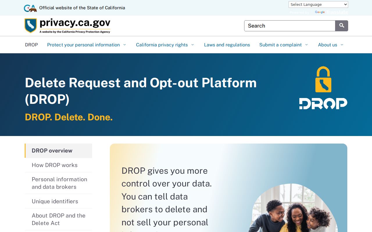
Privacy controls can change what a commercial database holds, while official deeds and court records follow their own custodian rules.
Privacy and lawful use. Kern County block research is for getting oriented to a block, finding public community contacts, reconnecting, family history, or personal safety awareness. Do not use a parcel, record, or program contact to watch, threaten, harass, or harm anyone.