
Kern County ZIP Code Directory Coverage
California Volunteers' official county-by-ZIP list identifies 68 Kern County codes, including codes that are nonresidential, nonpolygon, installation-based, or otherwise not suited to a simple neighborhood map. The rows below are representative, not a promise of every station, route, or delivery type. The Post Office column therefore names the postal place or says to verify with USPS. A current address result controls.
The Bakersfield rows show why a postal directory needs a boundary warning. The rural and mountain rows show why one code can cover a wide area. Taft, Lake Isabella, Frazier Park, Mojave, Inyokern, and Maricopa retain useful community names even when the postal area joins several places. For a full code list, use the official county list and then confirm one address through the USPS lookup.
| ZIP | Areas Covered | Post Office | Notes |
|---|---|---|---|
| 93301 | Central and downtown Bakersfield | Bakersfield postal name; verify with USPS | Geographic reference, not a city-limit test |
| 93307 | Southeast Bakersfield, Greenfield, Weedpatch, and nearby unincorporated places | Bakersfield postal service; verify with USPS | One ZIP can cross incorporated and unincorporated areas |
| 93308 | North Bakersfield, Oildale, and Saco | Bakersfield postal service; verify with USPS | Oildale is a key postal-name boundary example |
| 93312 | Northwest Bakersfield, Greenacres, and Rosedale | Bakersfield postal service; verify with USPS | Postal place does not settle jurisdiction |
| 93268 | Taft, Derby Acres, Dustin Acres, Ford City, South Taft, Taft Heights, and Valley Acres | Taft-area postal service; verify with USPS | Shared community code; use the court appendix for crosswalk clues |
| 93240 | Lake Isabella, Mountain Mesa, South Lake, and Squirrel Mountain Valley | Lake Isabella-area postal service; verify with USPS | Four named lake-valley places share the postal geography |
| 93225 | Frazier Park, Lake of the Woods, and Pine Mountain | Frazier Park-area postal service; verify with USPS | Mountain communities share one postal area |
| 93501 | Mojave and surrounding desert area | Mojave-area postal service; verify with USPS | Rural extent can be broad |
| 93527 | Inyokern | Inyokern postal service; verify with USPS | Rural code; do not treat it as a compact neighborhood |
| 93252 | Maricopa and Pentland | Maricopa-area postal service; verify with USPS | Oil-country and rural place names need an address check |
| 93302, 93303 | Bakersfield postal or nonstandard codes | Verify delivery type with USPS | Do not assume ordinary residential service |
| 93523, 93524 | Edwards Air Force Base area | Verify installation delivery type with USPS | Installation or nonstandard treatment must be confirmed |
Codes not shown include Delano, Lamont, Shafter, Wasco, Ridgecrest, Rosamond, Tehachapi, California City, Boron, Kernville, Weldon, and many more. The official 68-code count is useful context, while the table keeps the unverified station list out of the record.
Kern County Bakersfield ZIP Codes
A Bakersfield postal name does not prove that a parcel lies inside the City of Bakersfield. Code 93308 reaches Oildale and Saco. Code 93312 reaches Rosedale and Greenacres. Code 93307 includes Greenfield and Weedpatch examples along with southeast Bakersfield. These names matter when a property record, court venue, city permit, or civic contact needs the right government level.
Use the postal code to route mail. Use a parcel situs and APN to identify where land lies. If the question concerns a city file, determine incorporation separately. A postal result can be correct for delivery and still be the wrong answer for a municipal records request. This is one reason the directory should be paired with the Kern GIS or the relevant city record page.
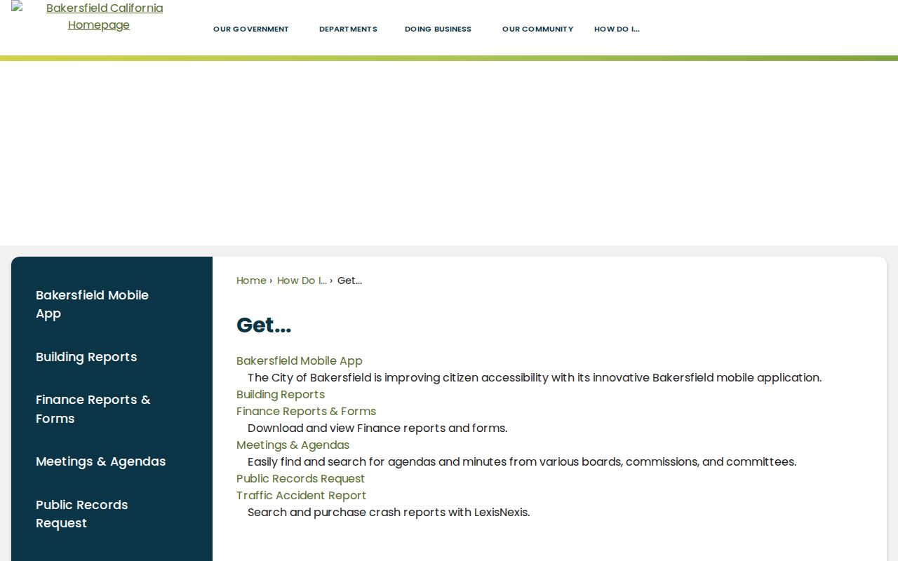
The city portal is a jurisdiction check, not a substitute for USPS address validation.
Kern County 93268 ZIP Communities
Code 93268 is a strong Kern example because Taft, Derby Acres, Dustin Acres, Ford City, South Taft, Taft Heights, and Valley Acres can appear within one postal crosswalk. A search that stops at “Taft” can lose the community detail needed for a court venue, local history trail, or parcel comparison. Try the named community as well as the postal city when an index permits place terms.
The Kern court venue appendix is useful for court routing and small-community names. It is not a USPS boundary map. Treat its crosswalk as a court reference, then confirm the actual mailing ZIP with USPS and the land location with a situs or APN.
That layered approach also helps with older records. A deed, directory, or newspaper may use an oil camp, township, or local place name rather than a modern postal code. Do not force 93268 onto a directory from before ZIPs existed.
Kern County Shared ZIP Code Areas
Code 93240 groups Lake Isabella, Mountain Mesa, South Lake, and Squirrel Mountain Valley. Code 93225 groups Frazier Park, Lake of the Woods, and Pine Mountain. In both areas, a postal result gives a useful first clue but does not identify a precise community, parcel, or road segment.
Mountain roads, shared place names, and large parcel patterns make an address and APN more precise than a ZIP-wide filter. Use USPS for the current delivery answer, then use Kern GIS or the Assessor for the parcel question. If a record search returns a short street stem, keep the full address spelling for the second check.
Rural Kern County ZIP Code Gaps
Rural and desert codes cover more ground than their five digits suggest. Code 93501 serves Mojave and surrounding desert areas. Code 93527 identifies Inyokern. Code 93252 includes Maricopa and Pentland. Other codes reach Boron, California City, Ridgecrest, Rosamond, Tehachapi, Edwards, or mountain communities. A rural code should not be described as a small neighborhood.
Some Kern codes are non-geographic, PO-box-oriented, installation-based, or otherwise nonstandard. The research did not verify every USPS station, route, or code type. Codes such as 93380 and 93383 through 93390, 93502, 93504, 93524, 93556, 93581, and 93596 need an address-level USPS check before a residential interpretation.
For statistics, a Census ZCTA is only an approximation of a USPS delivery area. Non-geographic or organization codes may not have ordinary residential populations, and rural ZCTAs may not trace exact postal routes. Keep the label clear when using either geography.
USPS Kern County ZIP Code Verification
The USPS Address Lookup is the right first stop for one current address. Enter the address as it is used for delivery and record the preferred city and code returned by USPS. A directory can summarize patterns, but it cannot replace the live address result.
After USPS returns the postal code, ask a separate question about jurisdiction. A city service portal, county GIS layer, court venue appendix, or parcel situs may use a different geography. Keep both results in the notes. Do not turn a delivery city into a claim about municipal limits.
USPS provides the address-level lookup needed to verify a Kern County postal code.
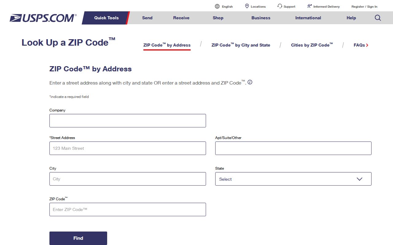
The returned preferred city and ZIP should be saved with the address, while boundary questions go to the proper local source.
Kern County ZIP Code Definitions
Postal terms are easy to mix up. A postal code is a five-digit delivery-area code. ZIP+4 adds four digits for a more precise route segment, building, or delivery grouping. Neither one is a parcel boundary. A PO-box or non-geographic code may identify a delivery arrangement without drawing a normal residential polygon.
- ZIP code
- A five-digit USPS delivery-area code used to sort and route mail.
- ZIP+4
- An added four-digit suffix that narrows delivery within a five-digit code.
- PO-box or non-geographic code
- A code tied to a box, organization, installation, or other delivery setup rather than a standard residential area.
- Unique ZIP
- A code assigned to a single organization or high-volume recipient, subject to USPS classification.
- Carrier route
- A local delivery sequence inside the postal area, not a public land boundary.
USPS is the authority for the mailing result. Kern GIS and the Assessor answer parcel questions. The court appendix answers a court-routing question. A good postal directory keeps those roles distinct instead of suggesting that one code can resolve every local question.
Kern County ZIP And Parcel Boundaries
The postal code follows delivery operations. A parcel follows a legal land description and map. A city follows an incorporated boundary. These three shapes can overlap without matching. For a Kern address, use the ZIP for mail, the situs and APN for land, and the city or county custodian for a public record request.
The Kern Assessor Property Search accepts APN, ATN, and address modes, with address search based on a street stem and no city or ZIP needed. Results stop at the first 100 matches, and owner names are suppressed online. GIS can show a parcel map and related fields, but its data are dynamic and official hardcopy assessment maps control.
Boundary check. USPS can tell where mail goes. It cannot by itself tell whether a parcel is in Bakersfield, an unincorporated community, a court venue, or a particular neighborhood. Confirm those questions with the relevant custodian.
Historical Kern County ZIP Code Directory
Modern postal codes began in 1963. A Bakersfield directory from 1899, a telephone book from 1940, a census schedule from 1900 through 1950, or a deed from an earlier period will use town names, rural routes, precincts, townships, or legal descriptions instead. A later ZIP appearance is a chronology clue, not proof of a street renumbering or boundary change.
For historical resident work, start with the source's own place terms. Beale Memorial Library holds Bakersfield directories from 1899 and Kern telephone directories from 1940. The Library of Congress criss-cross runs cover Bakersfield, Lamont, Oildale, and broader Kern communities from the 1950s through 1990. The exact ZIP split or realignment year for Kern County was not verified, so no split date belongs in a local timeline.
That gap is useful to state plainly. A postal directory can be accurate about the modern delivery area while remaining silent about when a boundary changed. Use the dated source that fits the question and verify any current address with USPS.